2014
SU1917 : Hale Purlieu, track junction
taken 10 years ago, near to Hale, Hampshire, England
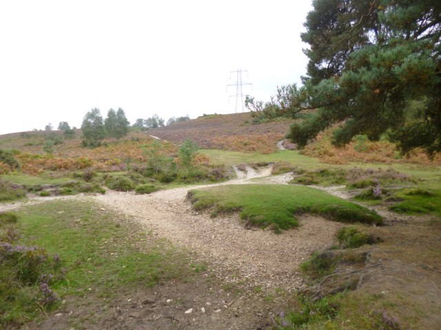
Hale Purlieu, track junction
Across a currently dry sreambed, then on to Millersford or Hatchet Green.
 Map © Crown Copyright")
TIP: Click the map for more Large scale mapping
- Grid Square
- SU1917, 21 images (more nearby 🔍)
- Photographer
- Mike Faherty (more nearby)
- Date Taken
- Thursday, 11 September, 2014 (more nearby)
- Submitted
- Thursday, 11 September, 2014
- Subject Location
-
OSGB36:
 SU 1917 1797 [10m precision]
WGS84: 50:57.6504N 1:43.7049W - Camera Location
-
OSGB36: SU 1915 1796
- View Direction
- East-northeast (about 67 degrees)