2014
SU2018 : Hale Purlieu, bridleway
taken 10 years ago, near to Hale, Hampshire, England
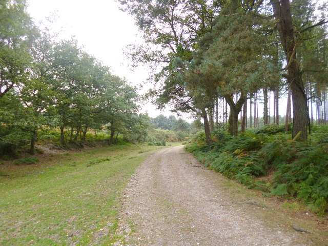
Hale Purlieu, bridleway
The northern beginning of a section of bridleway leading South. The bridleway is not, as it would seem, isolated; the historic open forest (Crown property) does not indicate rights of way, as the whole of the forest is access land; this stretch is part of an "adjacent common", historically not part of the forest, and now owned by the National Trust.
 Map © Crown Copyright")
TIP: Click the map for more Large scale mapping
- Grid Square
- SU2018, 19 images (more nearby 🔍)
- Photographer
- Mike Faherty (more nearby)
- Date Taken
- Thursday, 11 September, 2014 (more nearby)
- Submitted
- Friday, 12 September, 2014
- Subject Location
-
OSGB36:
 SU 2051 1816 [10m precision]
WGS84: 50:57.7501N 1:42.5595W - Camera Location
-
OSGB36: SU 2051 1816
- View Direction
- SOUTH (about 180 degrees)