2014
TQ4337 : Vanguard Way
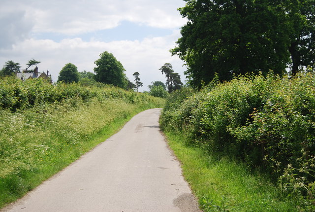
taken 10 years ago, near to Ashurst Wood, West Sussex, England
This is 1 of 2 images, with title Vanguard Way in this square
Vanguard Way
The Vanguard Way is a long distance walk of around 66 miles from East Croydon in outer London to Newhaven on the South coast of England. It passes through the counties of Surrey, Kent and East Sussex, between Croydon and Newhaven, East Sussex. It connects the London suburbs to the south coast, via the Ashdown Forest and the Cuckmere valley. The walk was developed in celebration of the 15th anniversary in 1980 of the Vanguards Rambling Club, who named themselves after an occasion when they returned from a walk travelling in the guard's van of a crowded train.
See Link for more details on both Vanguard Way and The Vanguards.
See other images of The Vanguard Way
See Link
See other images of The Vanguard Way
 Map © Crown Copyright")
TIP: Click the map for more Large scale mapping
- Grid Square
- TQ4337, 61 images (more nearby 🔍)
- Photographer
- N Chadwick (more nearby)
- Date Taken
- Sunday, 1 June, 2014 (more nearby)
- Submitted
- Friday, 12 September, 2014
- Subject Location
-
OSGB36:
 TQ 4301 3736 [10m precision]
WGS84: 51:7.0613N 0:2.5133E - Camera Location
-
OSGB36: TQ 4300 3737
- View Direction
- South-southeast (about 157 degrees)