2014
TM3198 : Brooke Road, Seething
taken 10 years ago, near to Seething, Norfolk, England
This is 1 of 2 images, with title Brooke Road, Seething in this square
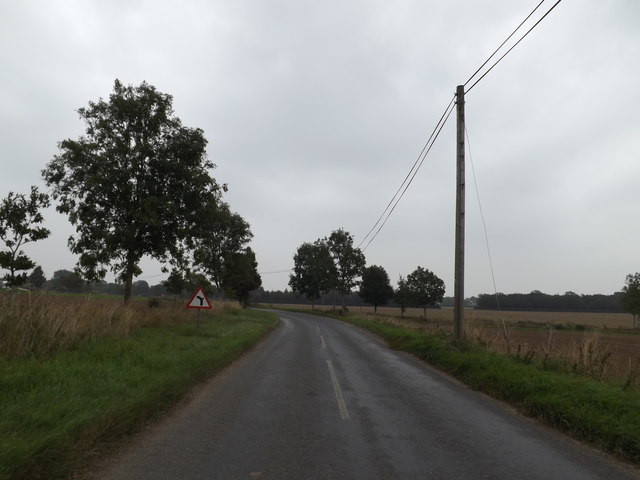
Brooke Road, Seething
Approaching the junction with Honeypot Lane
Road No.C203
Road No.C203
 Map © Crown Copyright")
TIP: Click the map for more Large scale mapping
- Grid Square
- TM3198, 73 images (more nearby 🔍)
- Photographer
- Geographer (more nearby)
- Date Taken
- Thursday, 11 September, 2014 (more nearby)
- Submitted
- Saturday, 13 September, 2014
- Subject Location
-
OSGB36:
 TM 31280 98115 [1m precision]
WGS84: 52:31.9059N 1:24.5090E - Camera Location
-
OSGB36: TM 31280 98115
- View Direction
- East-southeast (about 112 degrees)