2007
SK3002 : Bridleway approaches 'Other Route with Public Access'
taken 17 years ago, near to Orton-on-The-Hill, Leicestershire, England
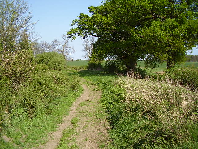
Bridleway approaches 'Other Route with Public Access'
 Map © Crown Copyright")
TIP: Click the map for more Large scale mapping
- Grid Square
- SK3002, 5 images (more nearby 🔍)
- Photographer
- Ken Brockway (more nearby)
- Date Taken
- Saturday, 28 April, 2007 (more nearby)
- Submitted
- Saturday, 28 April, 2007
- Subject Location
-
OSGB36:
 SK 309 029 [100m precision]
WGS84: 52:37.4224N 1:32.6627W - Camera Location
-
OSGB36: SK 308 029
- View Direction
- EAST (about 90 degrees)