2014
SD5302 : Damaged stone wall
taken 10 years ago, near to Higher End, Wigan, England
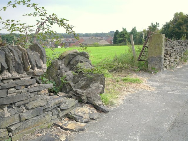
Damaged stone wall
Damaged stone wall enclosing field on Upholland Road, Billinge
 Map © Crown Copyright")
TIP: Click the map for more Large scale mapping
- Grid Square
- SD5302, 73 images (more nearby 🔍)
- Photographer
- Gary Rogers (more nearby)
- Date Taken
- Saturday, 13 September, 2014 (more nearby)
- Submitted
- Sunday, 14 September, 2014
- Subject Location
-
OSGB36:
 SD 530 023 [100m precision]
WGS84: 53:30.9267N 2:42.6067W - Camera Location
-
OSGB36: SD 530 023
- View Direction
- Southeast (about 135 degrees)