2011
TQ7280 : The West Blyth channel-marker buoy: view upstream
taken 13 years ago, 3 km from Corringham, Thurrock, England
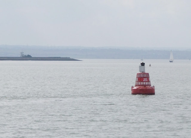
The West Blyth channel-marker buoy: view upstream
At the western - landward - end of Sea Reach. A comparison of the OS mapping with Port of London Authority documentation places this marker buoy comfortably within TQ 7280, at about 723 804. Here the view is roughly south-west, towards the Kentish shore at Lower Hope Point. In the original, the Watermen's Stone (at the Point: Link can be made out.
The name West Blyth derives from Blyth Sands, the vast area of mud (rather than sand) flats which extends for miles along the southern shore of Sea Reach.
Seen from onboard the paddle steamer 'Waverley', heading down river from Tilbury.
The name West Blyth derives from Blyth Sands, the vast area of mud (rather than sand) flats which extends for miles along the southern shore of Sea Reach.
Seen from onboard the paddle steamer 'Waverley', heading down river from Tilbury.
 Map © Crown Copyright")
TIP: Click the map for more Large scale mapping
- Grid Square
- TQ7280, 8 images (more nearby 🔍)
- Photographer
- Stefan Czapski (more nearby)
- Date Taken
- Saturday, 24 September, 2011 (more nearby)
- Submitted
- Sunday, 14 September, 2014
- Subject Location
-
OSGB36:
 TQ 723 804 [100m precision]
WGS84: 51:29.8039N 0:28.8471E - Camera Location
-
OSGB36: TQ 723 805
- View Direction
- Southwest (about 225 degrees)