2014
SX5555 : Wolverwood Lane, Plympton St Maurice
taken 10 years ago, near to Plympton, Plymouth, England
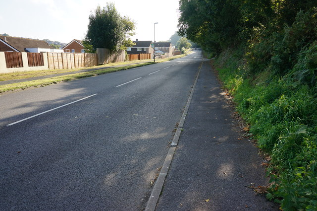
Wolverwood Lane, Plympton St Maurice
Looking East Southeast.
 Map © Crown Copyright")
TIP: Click the map for more Large scale mapping
- Grid Square
- SX5555, 29 images (more nearby 🔍)
- Photographer
- jeff collins (more nearby)
- Date Taken
- Wednesday, 10 September, 2014 (more nearby)
- Submitted
- Sunday, 14 September, 2014
- Subject Location
-
OSGB36:
 SX 5517 5519 [10m precision]
WGS84: 50:22.7235N 4:2.2975W - Camera Location
-
OSGB36: SX 5515 5520
- View Direction
- East-southeast (about 112 degrees)