2014
SP2965 : River Avon by Emscote Gardens, Warwick 2014, March 15, 15:42
taken 10 years ago, near to Warwick, Warwickshire, England
This is 1 of 2 images, with title starting with River Avon by Emscote Gardens, Warwick 2014, March 1 in this square
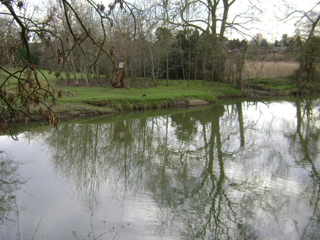
River Avon by Emscote Gardens, Warwick 2014, March 15, 15:42
River level is about as low as it will get, as determined by Castle Weir downstream. The little wooden platform across the river is not a fishing peg but probably a ramp into the field for ducks and swans.
 Map © Crown Copyright")
TIP: Click the map for more Large scale mapping
- Grid Square
- SP2965, 1818 images (more nearby 🔍)
- Photographer
- Robin Stott (more nearby)
- Date Taken
- Saturday, 15 March, 2014 (more nearby)
- Submitted
- Sunday, 14 September, 2014
- Subject Location
-
OSGB36:
 SP 2955 6515 [10m precision]
WGS84: 52:17.0221N 1:34.0949W - Camera Location
-
OSGB36: SP 2954 6519
- View Direction
- South-southeast (about 157 degrees)