2014
TL3695 : Halfway along Hake's Drove
taken 10 years ago, 3 km from Turves, Cambridgeshire, England
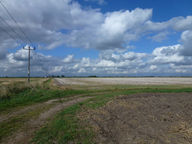
Halfway along Hake's Drove
The drove becomes a grass track at this point with the farm track turning 90 degrees to the right. The fenland village of Turves is on the distant horizon
 Map © Crown Copyright")
TIP: Click the map for more Large scale mapping
- Grid Square
- TL3695, 5 images (more nearby 🔍)
- Photographer
- Richard Humphrey (more nearby)
- Date Taken
- Friday, 12 September, 2014 (more nearby)
- Submitted
- Sunday, 14 September, 2014
- Subject Location
-
OSGB36:
 TL 3605 9572 [10m precision]
WGS84: 52:32.5407N 0:0.2835E - Camera Location
-
OSGB36: TL 3610 9571
- View Direction
- West-northwest (about 292 degrees)