2014
SD4149 : Path to the car park
taken 10 years ago, near to Stake Pool, Lancashire, England
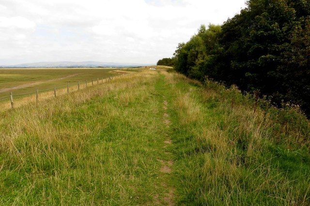
Path to the car park
The path runs along the sea wall to Lane Ends Amenity Area.
 Map © Crown Copyright")
TIP: Click the map for more Large scale mapping
- Grid Square
- SD4149, 41 images (more nearby 🔍)
- Photographer
- Steve Daniels (more nearby)
- Date Taken
- Wednesday, 27 August, 2014 (more nearby)
- Submitted
- Sunday, 14 September, 2014
- Subject Location
-
OSGB36:
 SD 4135 4951 [10m precision]
WGS84: 53:56.3020N 2:53.6937W - Camera Location
-
OSGB36: SD 4130 4949
- View Direction
- East-northeast (about 67 degrees)