2014
TQ6139 : Cornford Lane becomes single track
taken 10 years ago, near to Pembury, Kent, England
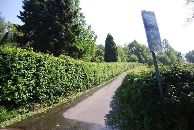
Cornford Lane becomes single track
 Map © Crown Copyright")
TIP: Click the map for more Large scale mapping
- Grid Square
- TQ6139, 131 images (more nearby 🔍)
- Photographer
- N Chadwick (more nearby)
- Date Taken
- Sunday, 18 May, 2014 (more nearby)
- Submitted
- Monday, 15 September, 2014
- Subject Location
-
OSGB36:
 TQ 6132 3999 [10m precision]
WGS84: 51:8.1876N 0:18.2674E - Camera Location
-
OSGB36: TQ 6130 3999
- View Direction
- East-northeast (about 67 degrees)