2014
SE0701 : Path through Hey Moss
taken 10 years ago, near to Black Hill End [other Features], Derbyshire, Great Britain
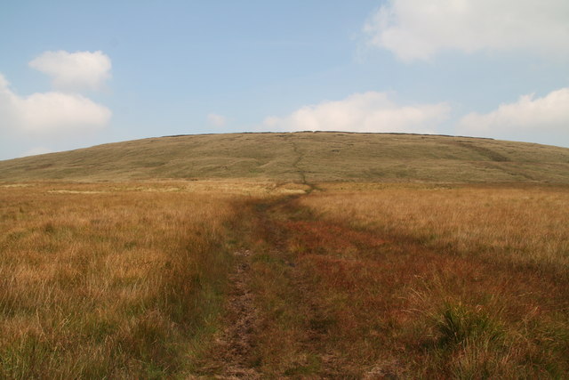
Path through Hey Moss
It is clear from the Google satellite view that this is the old track marked on the OS map in black rather than the green one ("Public Footpath").
 Map © Crown Copyright")
TIP: Click the map for more Large scale mapping
- Grid Square
- SE0701, 22 images (more nearby 🔍)
- Photographer
- Chris (more nearby)
- Date Taken
- Thursday, 11 September, 2014 (more nearby)
- Submitted
- Tuesday, 16 September, 2014
- Subject Location
-
OSGB36:
 SE 0786 0101 [10m precision]
WGS84: 53:30.3434N 1:52.9778W - Camera Location
-
OSGB36: SE 0791 0122
- View Direction
- South-southwest (about 202 degrees)