2014
SE0460 : Campsite near Appletreewick
taken 10 years ago, near to Appletreewick, North Yorkshire, England
This is 1 of 2 images, with title Campsite near Appletreewick in this square
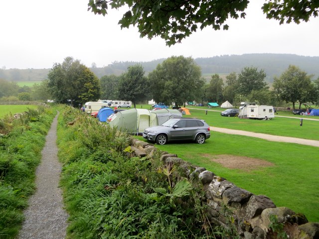
Campsite near Appletreewick
The path leads down to the River Wharfe, and the Dales Way.
 Map © Crown Copyright")
TIP: Click the map for more Large scale mapping
- Grid Square
- SE0460, 111 images (more nearby 🔍)
- Photographer
- philandju (more nearby)
- Date Taken
- Tuesday, 16 September, 2014 (more nearby)
- Submitted
- Wednesday, 17 September, 2014
- Subject Location
-
OSGB36:
 SE 0469 6012 [10m precision]
WGS84: 54:2.2224N 1:55.7928W - Camera Location
-
OSGB36: SE 0471 6018
- View Direction
- South-southwest (about 202 degrees)