2014
SX9069 : Pond, Rocombe valley
taken 10 years ago, near to Stokeinteignhead, Devon, England
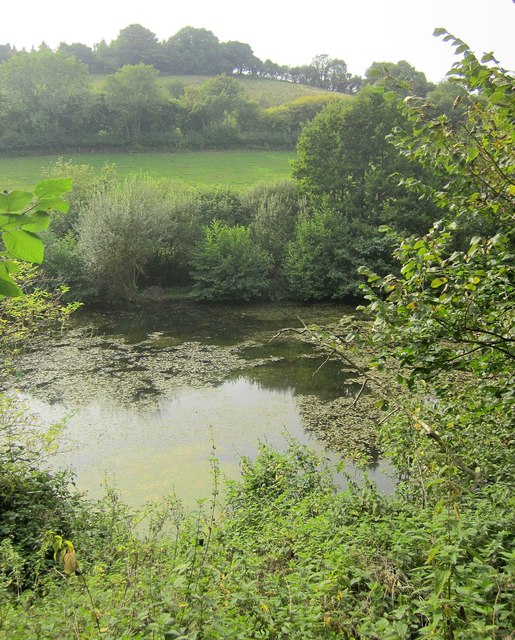
Pond, Rocombe valley
A string of ponds lie along this stretch of the valley, used for fishing.
 Map © Crown Copyright")
TIP: Click the map for more Large scale mapping
- Grid Square
- SX9069, 40 images (more nearby 🔍)
- Photographer
- Derek Harper (more nearby)
- Date Taken
- Sunday, 14 September, 2014 (more nearby)
- Submitted
- Wednesday, 17 September, 2014
- Subject Location
-
OSGB36:
 SX 9095 6967 [10m precision]
WGS84: 50:30.9977N 3:32.3708W - Camera Location
-
OSGB36: SX 9099 6969
- View Direction
- West-southwest (about 247 degrees)