2014
NM4628 : Loch Arish, Ardmeanach, Isle of Mull
taken 10 years ago, 3 km from Torrans, Isle of Mull, Argyll And Bute, Scotland
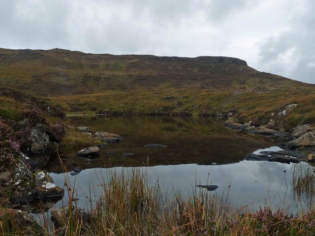
Loch Arish, Ardmeanach, Isle of Mull
 Map © Crown Copyright")
TIP: Click the map for more Large scale mapping
- Grid Square
- NM4628, 2 images (more nearby 🔍)
- Photographer
- Claire Pegrum (more nearby)
- Date Taken
- Tuesday, 9 September, 2014 (more nearby)
- Submitted
- Friday, 19 September, 2014
- Subject Location
-
OSGB36:
 NM 46531 28065 [1m precision]
WGS84: 56:22.6031N 6:6.4168W - Camera Location
-
OSGB36: NM 46531 28065
- View Direction
- NORTH (about 0 degrees)