2014
SD5770 : Military transport plane flying up the Lune Valley
taken 10 years ago, near to Gressingham, Lancashire, England
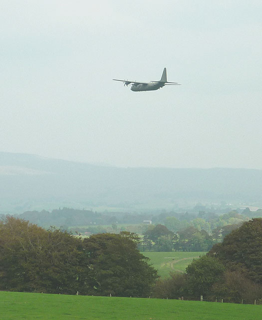
Military transport plane flying up the Lune Valley
Flying low up the valley, no doubt dodging imaginary surface-to-air missiles.
 Map © Crown Copyright")
TIP: Click the map for more Large scale mapping
- Grid Square
- SD5770, 22 images (more nearby 🔍)
- Photographer
- Karl and Ali (more nearby)
- Date Taken
- Sunday, 21 September, 2014 (more nearby)
- Submitted
- Sunday, 21 September, 2014
- Subject Location
-
OSGB36:
 SD 5757 7056 [10m precision]
WGS84: 54:7.7478N 2:39.0473W - Camera Location
-
OSGB36: SD 5757 7056
- View Direction
- North-northeast (about 22 degrees)