2014
ST1444 : Car park near Kilve Pill
taken 10 years ago, near to East Quantoxhead, Somerset, England
This is 1 of 2 images, with title Car park near Kilve Pill in this square
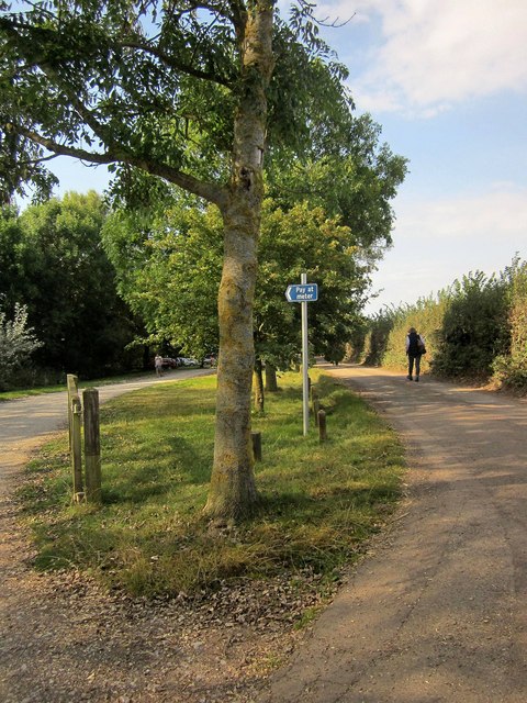
Car park near Kilve Pill
The lane isn't motorable for much further, and in fact is mapped as a public footpath, WL 11/1.
 Map © Crown Copyright")
TIP: Click the map for more Large scale mapping
- Grid Square
- ST1444, 118 images (more nearby 🔍)
- Photographer
- Derek Harper (more nearby)
- Date Taken
- Sunday, 21 September, 2014 (more nearby)
- Submitted
- Wednesday, 24 September, 2014
- Subject Location
-
OSGB36:
 ST 1458 4416 [10m precision]
WGS84: 51:11.4154N 3:13.4224W - Camera Location
-
OSGB36: ST 1458 4415
- View Direction
- Northwest (about 315 degrees)