2014
SD1594 : Holehouse Tarn
taken 10 years ago, 3 km from Woodend, Cumbria, England
This is 1 of 3 images, with title Holehouse Tarn in this square
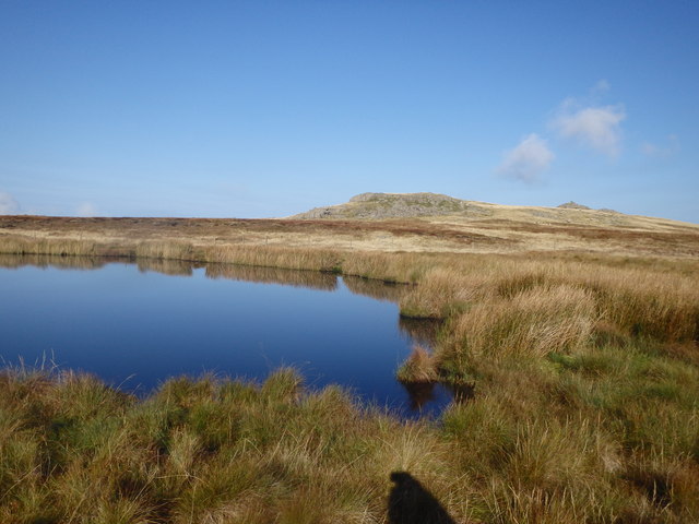
Holehouse Tarn
Near the outflow which wasn't flowing much today. Stainton Pike in shot
 Map © Crown Copyright")
TIP: Click the map for more Large scale mapping
- Grid Square
- SD1594, 25 images (more nearby 🔍)
- Photographer
- Michael Graham (more nearby)
- Date Taken
- Sunday, 21 September, 2014 (more nearby)
- Submitted
- Thursday, 25 September, 2014
- Subject Location
-
OSGB36:
 SD 1543 9401 [10m precision]
WGS84: 54:20.0769N 3:18.1274W - Camera Location
-
OSGB36: SD 1543 9401
- View Direction
- West-northwest (about 292 degrees)