2014
TQ6239 : Tunbridge Wells Circular Walk
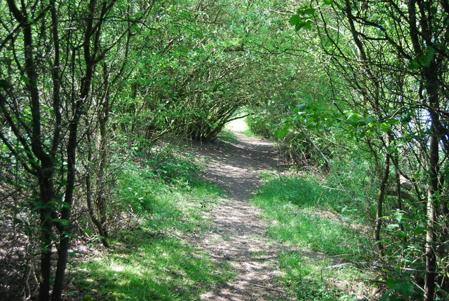
taken 10 years ago, near to Pembury, Kent, England
This is 1 of 11 images, with title Tunbridge Wells Circular Walk in this square
Tunbridge Wells Circular Walk
A 27 mile circular walk around the town of Tunbridge Wells. The route was established in 1989 as part of the centenary celebrations of the town being granted the Borough Charter. There is no official start or end to the walk. The walk visits Southborough, Pembury, Frant, Eridge, Groombridge and Speldhurst as well as Eridge Rocks and Harrison Rocks. It is well signed along its entire length. As well as the main path there are four link paths from Tunbridge Wells and High Brooms stations to meet the path at Groombridge, Speldhurst, Southborough and Hawkenbury.
See other images of Tunbridge Wells Circular Walk (TWCW)
See other images of Tunbridge Wells Circular Walk (TWCW)
 Map © Crown Copyright")
TIP: Click the map for more Large scale mapping
- Grid Square
- TQ6239, 88 images (more nearby 🔍)
- Photographer
- N Chadwick (more nearby)
- Date Taken
- Sunday, 18 May, 2014 (more nearby)
- Submitted
- Thursday, 25 September, 2014
- Subject Location
-
OSGB36:
 TQ 6207 3953 [10m precision]
WGS84: 51:7.9270N 0:18.8976E - Camera Location
-
OSGB36: TQ 6208 3956
- View Direction
- South-southwest (about 202 degrees)