2014
TQ0852 : Field edge near the Sheepleas
taken 10 years ago, near to West Horsley, Surrey, England
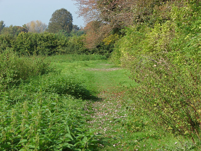
Field edge near the Sheepleas
A treeline along the edge of a fallow field on the footpath from Sheepleas to the Epsom Road.
 Map © Crown Copyright")
TIP: Click the map for more Large scale mapping
- Grid Square
- TQ0852, 128 images (more nearby 🔍)
- Photographer
- Alan Hunt (more nearby)
- Date Taken
- Monday, 22 September, 2014 (more nearby)
- Submitted
- Thursday, 25 September, 2014
- Subject Location
-
OSGB36:
 TQ 0878 5229 [10m precision]
WGS84: 51:15.5642N 0:26.5461W - Camera Location
-
OSGB36: TQ 0880 5222
- View Direction
- North-northwest (about 337 degrees)