2014
NY7302 : Junction of dry stone walls on Townhead Lane
taken 10 years ago, near to Ravenstonedale, Cumbria, England
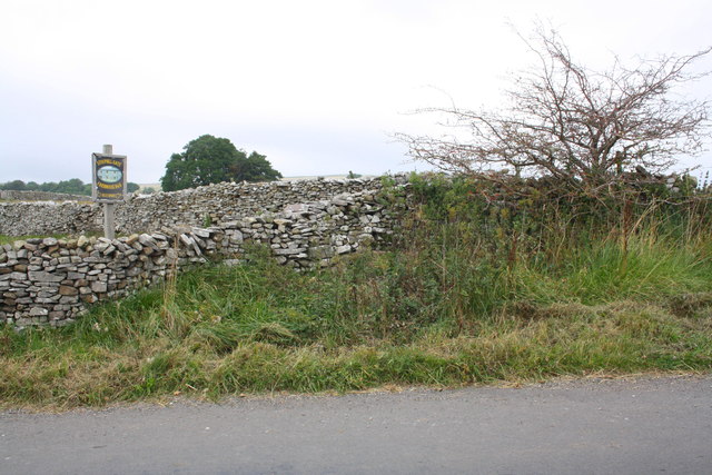
Junction of dry stone walls on Townhead Lane
There is an OS benchmark NY7302 : Benchmark on stone in wall near Stouphill Gate on a stone at the base of the wall in the middle of the image.
 Map © Crown Copyright")
TIP: Click the map for more Large scale mapping
- Grid Square
- NY7302, 46 images (more nearby 🔍)
- Photographer
- Roger Templeman (more nearby)
- Date Taken
- Friday, 19 September, 2014 (more nearby)
- Submitted
- Friday, 26 September, 2014
- Subject Location
-
OSGB36:
 NY 7369 0289 [10m precision]
WGS84: 54:25.2457N 2:24.4183W - Camera Location
-
OSGB36: NY 7368 0288
- View Direction
- Northeast (about 45 degrees)