2014
SX4658 : Burrington Way and sign for the Co-operative Way
taken 10 years ago, near to St Budeaux, Plymouth, England
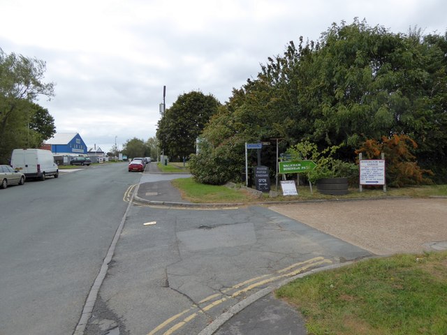
Burrington Way and sign for the Co-operative Way
Burrington Way is the main road for a small industrial estate on the site of Burrington Farm. The sign points to a narrow path between fences which is part of the Co-operative Way, a circular walk around north Plymouth
 Map © Crown Copyright")
TIP: Click the map for more Large scale mapping
- Grid Square
- SX4658, 30 images (more nearby 🔍)
- Photographer
- David Smith (more nearby)
- Date Taken
- Friday, 26 September, 2014 (more nearby)
- Submitted
- Saturday, 27 September, 2014
- Subject Location
-
OSGB36:
 SX 4659 5821 [10m precision]
WGS84: 50:24.2213N 4:9.6065W - Camera Location
-
OSGB36: SX 4662 5821
- View Direction
- West-southwest (about 247 degrees)