2014
SE0261 : River Wharfe
taken 10 years ago, near to Burnsall, North Yorkshire, England
This is 1 of 3 images, with title River Wharfe in this square
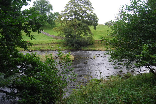
River Wharfe
The River Wharfe is a major Yorkshire River. It is 97 miles long. It rises in Langstrathdale in the Yorkshire Dales National Park and flows south then east to join the River Ouse at Cawood. It is navigable as far as Tadcaster.
Wikipedia: Link
See other images of River Wharfe
Wikipedia: Link
See other images of River Wharfe
 Map © Crown Copyright")
TIP: Click the map for more Large scale mapping
- Grid Square
- SE0261, 86 images (more nearby 🔍)
- Photographer
- N Chadwick (more nearby)
- Date Taken
- Monday, 25 August, 2014 (more nearby)
- Submitted
- Sunday, 28 September, 2014
- Subject Location
-
OSGB36:
 SE 0291 6181 [10m precision]
WGS84: 54:3.1345N 1:57.4226W - Camera Location
-
OSGB36: SE 0289 6179
- View Direction
- Northeast (about 45 degrees)