2014
TM2784 : High Road, Wortwell
taken 10 years ago, near to Wortwell, Norfolk, England
This is 1 of 6 images, with title High Road, Wortwell in this square
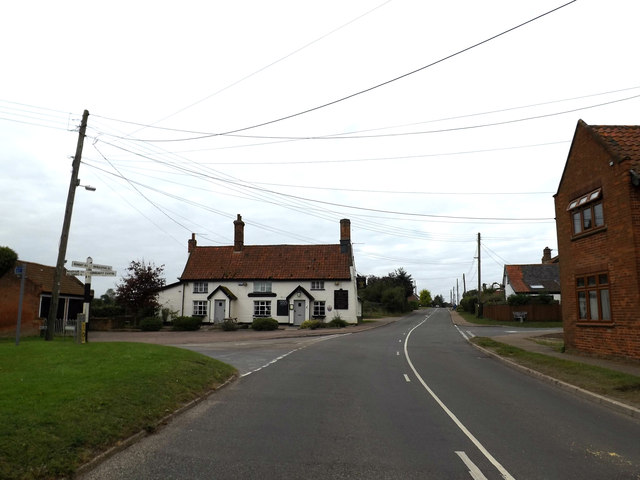
High Road, Wortwell
At the junction with Tunbeck Close & Low Road
Road No.C571
Road No.C571
 Map © Crown Copyright")
TIP: Click the map for more Large scale mapping
- Grid Square
- TM2784, 82 images (more nearby 🔍)
- Photographer
- Geographer (more nearby)
- Date Taken
- Saturday, 27 September, 2014 (more nearby)
- Submitted
- Sunday, 28 September, 2014
- Subject Location
-
OSGB36:
 TM 27633 84856 [1m precision]
WGS84: 52:24.8583N 1:20.7461E - Camera Location
-
OSGB36: TM 27650 84866
- View Direction
- West-southwest (about 247 degrees)