2014
NR7029 : Lussa Loch
taken 10 years ago, 3 km from Skeroblingarry, Argyll And Bute, Scotland
This is 1 of 2 images, with title Lussa Loch in this square
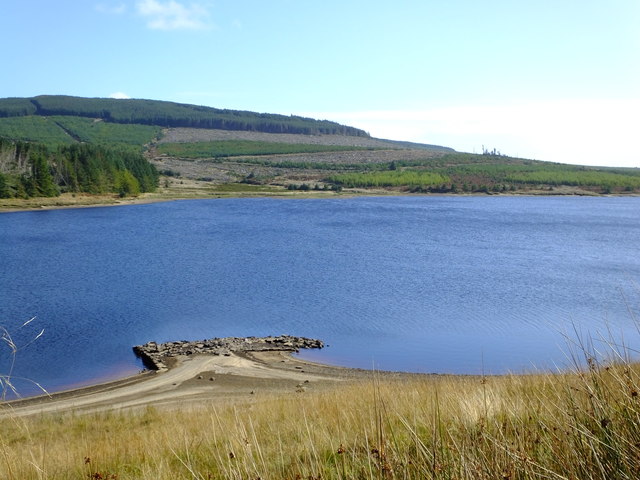
Lussa Loch
The disused structure at the shore is perhaps an old dock.
 Map © Crown Copyright")
TIP: Click the map for more Large scale mapping
- Grid Square
- NR7029, 8 images (more nearby 🔍)
- Photographer
- sylvia duckworth (more nearby)
- Date Taken
- Wednesday, 1 October, 2014 (more nearby)
- Submitted
- Tuesday, 7 October, 2014
- Subject Location
-
OSGB36:
 NR 708 296 [100m precision]
WGS84: 55:30.3814N 5:37.8134W - Camera Location
-
OSGB36: NR 708 296
- View Direction
- East-southeast (about 112 degrees)