2014
SX2962 : Farmland near Bodway
taken 10 years ago, near to Menheniot, Cornwall, England
This is 1 of 3 images, with title Farmland near Bodway in this square
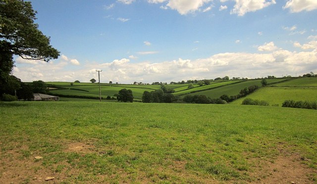
Farmland near Bodway
Barns at Bodway can be seen on the extreme left. Ahead is the valley seen from the left in SX2962 : Farmland near Bodway. On the hill beyond is Doddycross.
 Map © Crown Copyright")
TIP: Click the map for more Large scale mapping
- Grid Square
- SX2962, 10 images (more nearby 🔍)
- Photographer
- Derek Harper (more nearby)
- Date Taken
- Saturday, 14 June, 2014 (more nearby)
- Submitted
- Thursday, 9 October, 2014
- Subject Location
-
OSGB36:
 SX 296 622 [100m precision]
WGS84: 50:26.0914N 4:24.0473W - Camera Location
-
OSGB36: SX 2944 6220
- View Direction
- EAST (about 90 degrees)