2014
NU2231 : Annstead Burn
taken 10 years ago, near to Seahouses, Northumberland, England
This is 1 of 7 images, with title Annstead Burn in this square
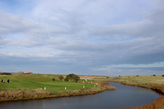
Annstead Burn
The watercourse flows past Seahouses Golf Course before entering the North Sea.
 Map © Crown Copyright")
TIP: Click the map for more Large scale mapping
- Grid Square
- NU2231, 202 images (more nearby 🔍)
- Photographer
- Chris Heaton (more nearby)
- Date Taken
- Sunday, 5 October, 2014 (more nearby)
- Submitted
- Sunday, 12 October, 2014
- Subject Location
-
OSGB36:
 NU 2231 3102 [10m precision]
WGS84: 55:34.3403N 1:38.8650W - Camera Location
-
OSGB36: NU 2226 3101
- View Direction
- EAST (about 90 degrees)