2014
NT5041 : Allan Water footbridge
taken 10 years ago, near to Langshaw, Scottish Borders, Scotland
This is 1 of 2 images, with title starting with Allan Water in this square
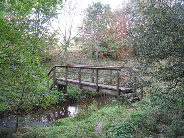
Allan Water footbridge
Looking upstream from near the roundhouse in Wooplaw Community Woodland.
 Map © Crown Copyright")
TIP: Click the map for more Large scale mapping
- Grid Square
- NT5041, 23 images (more nearby 🔍)
- Photographer
- M J Richardson (more nearby)
- Date Taken
- Saturday, 11 October, 2014 (more nearby)
- Submitted
- Monday, 13 October, 2014
- Subject Location
-
OSGB36:
 NT 5062 4156 [10m precision]
WGS84: 55:39.9016N 2:47.1916W - Camera Location
-
OSGB36: NT 5063 4154
- View Direction
- North-northwest (about 337 degrees)