2014
NT3318 : Potloch Burn
taken 10 years ago, near to Newburgh, Scottish Borders, Scotland
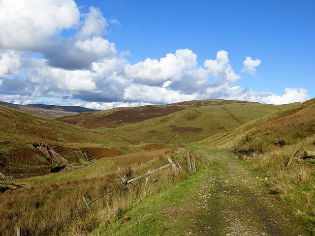
Potloch Burn
Remains of a gate on the road over the hill to Deloraineshiel. The land is grazed by sheep and cattle.
 Map © Crown Copyright")
TIP: Click the map for more Large scale mapping
- Grid Square
- NT3318, 4 images (more nearby 🔍)
- Photographer
- Richard Webb (more nearby)
- Date Taken
- Saturday, 11 October, 2014 (more nearby)
- Submitted
- Friday, 17 October, 2014
- Subject Location
-
OSGB36:
 NT 3385 1823 [10m precision]
WGS84: 55:27.2062N 3:2.8484W - Camera Location
-
OSGB36: NT 3385 1821
- View Direction
- North-northeast (about 22 degrees)