2014
NC1109 : Cattle Grid near Linneraineach
taken 10 years ago, near to Loch Lurgainn [water Feature], Highland, Great Britain
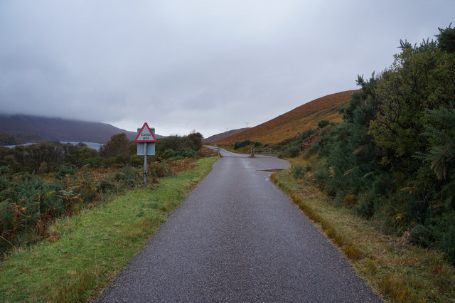
Cattle Grid near Linneraineach
 Map © Crown Copyright")
TIP: Click the map for more Large scale mapping
- Grid Square
- NC1109, 26 images (more nearby 🔍)
- Photographer
- Ian S (more nearby)
- Date Taken
- Sunday, 19 October, 2014 (more nearby)
- Submitted
- Tuesday, 21 October, 2014
- Subject Location
-
OSGB36:
 NC 1194 0917 [10m precision]
WGS84: 58:1.9025N 5:11.2016W - Camera Location
-
OSGB36: NC 1197 0916
- View Direction
- West-northwest (about 292 degrees)