2014
SP0874 : Barkers Lane nears Tanners Green
taken 10 years ago, near to Wythall, Worcestershire, England
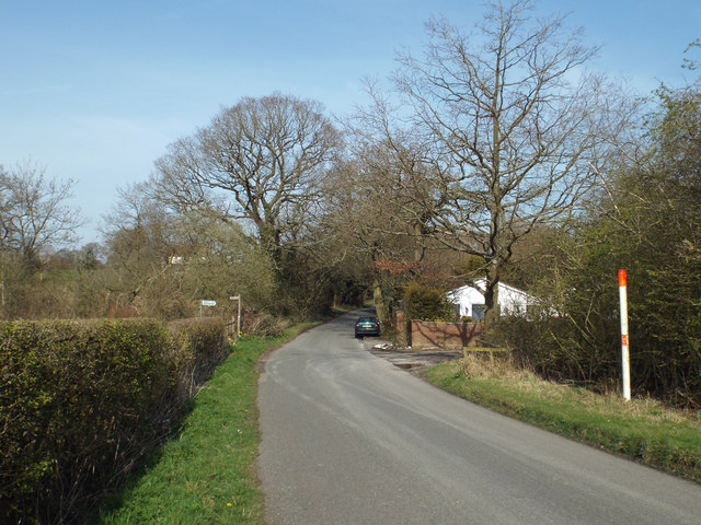
Barkers Lane nears Tanners Green
Eventful! A gas pipeline crosses here. Off to the left is a bridleway, part of the Midland Link path, which continues to the right down a potholed drive to a backland dwelling.
 Map © Crown Copyright")
TIP: Click the map for more Large scale mapping
- Grid Square
- SP0874, 26 images (more nearby 🔍)
- Photographer
- Robin Stott (more nearby)
- Date Taken
- Saturday, 29 March, 2014 (more nearby)
- Submitted
- Friday, 24 October, 2014
- Subject Location
-
OSGB36:
 SP 0830 7435 [10m precision]
WGS84: 52:22.0283N 1:52.7716W - Camera Location
-
OSGB36: SP 0827 7431
- View Direction
- North-northeast (about 22 degrees)