2014

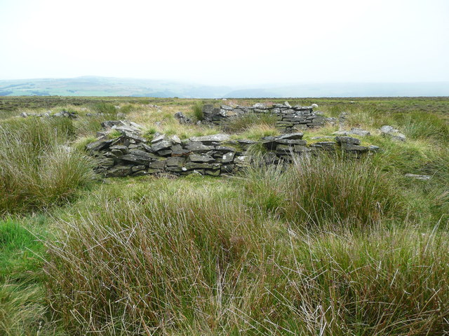
SE0127 : Ruin on Cock Hill

taken 10 years ago, near to Mytholmroyd, Calderdale, England

This is 1 of 2 images, with title Ruin on Cock Hill in this square
Ruin on Cock Hill
Ruin on Cock Hill

Creative Commons Licence [Some Rights Reserved]   © Copyright Humphrey Bolton and licensed for reuse under this Creative Commons Licence.
Geographical Context: Uplands Derelict, Disused Moorland Primary Subject: Ruin other tags: CRoW Access Land Click a tag, to view other nearby images.
This photo is linked from: Automatic Clusters: · Landcover: Heather [29] · Ruin [3] Title Clusters: · Ruin on Cock Hill [2] ·
1:50,000 Modern Day Landranger(TM) Map © Crown Copyright
+
1:50,000 Modern Day Landranger(TM) Map © Crown Copyright
TIP: Click the map for more Large scale mapping
Grid Square
SE0127, 160 images   (more nearby 🔍)
Photographer
Humphrey Bolton   (more nearby)
Date Taken
Monday, 14 July, 2014   (more nearby)
Submitted
Saturday, 25 October, 2014
Subject Location
OSGB36: geotagged! SE 0121 2762 [10m precision]
WGS84: 53:44.6973N 1:58.9879W
Camera Location
OSGB36: geotagged! SE 0121 2762
View Direction
SOUTH (about 180 degrees)
Clickable map
+
NW N NE
W Go E
SW S SE
Image classification(about): Geograph
This page has been viewed about 7 times
You are not logged in login | register