2014
SH2531 : Layby near Bodnithoedd
taken 10 years ago, near to Botwnnog, Gwynedd, Wales
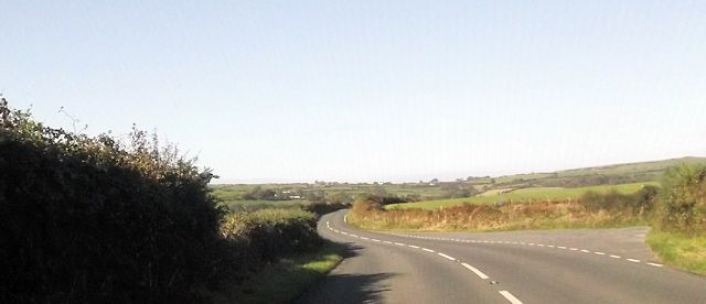
Layby near Bodnithoedd
 Map © Crown Copyright")
TIP: Click the map for more Large scale mapping
- Grid Square
- SH2531, 46 images (more nearby 🔍)
- Photographer
- John Firth (more nearby)
- Date Taken
- Tuesday, 14 October, 2014 (more nearby)
- Submitted
- Saturday, 25 October, 2014
- Subject Location
-
OSGB36:
 SH 2530 3148 [10m precision]
WGS84: 52:51.1438N 4:35.7565W - Camera Location
-
OSGB36: SH 2539 3143
- View Direction
- West-northwest (about 292 degrees)