2014
NN6225 : Un-named burn
taken 10 years ago, near to Dalveich, Stirling, Scotland
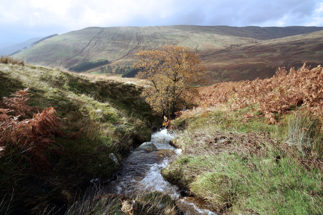
Un-named burn
Tributary of the Beich Burn in the valley below.
 Map © Crown Copyright")
TIP: Click the map for more Large scale mapping
- Grid Square
- NN6225, 18 images (more nearby 🔍)
- Photographer
- Anthony O'Neil (more nearby)
- Date Taken
- Saturday, 18 October, 2014 (more nearby)
- Submitted
- Monday, 27 October, 2014
- Subject Location
-
OSGB36:
 NN 621 255 [100m precision]
WGS84: 56:24.1435N 4:14.0784W - Camera Location
-
OSGB36: NN 621 255
- View Direction
- WEST (about 270 degrees)