2014
ST9521 : Bridleway near Winkelbury
taken 10 years ago, near to Berwick st John, Wiltshire, England
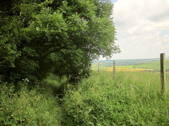
Bridleway near Winkelbury
Bridleway BSJO 10 descending steadily beside the combe shown in ST9521 : East Ivers Wood.
 Map © Crown Copyright")
TIP: Click the map for more Large scale mapping
- Grid Square
- ST9521, 22 images (more nearby 🔍)
- Photographer
- Derek Harper (more nearby)
- Date Taken
- Friday, 20 June, 2014 (more nearby)
- Submitted
- Tuesday, 28 October, 2014
- Subject Location
-
OSGB36:
 ST 9535 2139 [10m precision]
WGS84: 50:59.5133N 2:4.0577W - Camera Location
-
OSGB36: ST 9535 2138
- View Direction
- North-northeast (about 22 degrees)