2014
SK6002 : Clarendon Park Road Vicinity, Leicester
taken 9 years ago, near to Stoneygate, Leicester, England
Clarendon Park Road Vicinity, Leicester
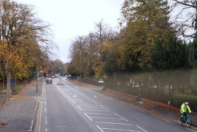
This cyclist is heading in the general direction of Victoria Park on the east side of the city, whilst the cars that have just passed the Clarendon Park Road turning on the right are heading towards Oadby.
 Map © Crown Copyright")
TIP: Click the map for more Large scale mapping
- Grid Square
- SK6002, 51 images (more nearby 🔍)
- Photographer
- David Hallam-Jones (more nearby)
- Date Taken
- Wednesday, 29 October, 2014 (more nearby)
- Submitted
- Friday, 31 October, 2014
- Subject Location
-
OSGB36:
 SK 6030 0274 [10m precision]
WGS84: 52:37.1453N 1:6.6450W - Camera Location
-
OSGB36: SK 6029 0276
- View Direction
- Southeast (about 135 degrees)