2014
SX3767 : A388 on Viverdon Down
taken 9 years ago, near to St Dominick, Cornwall, England
This is 1 of 2 images, with title A388 on Viverdon Down in this square
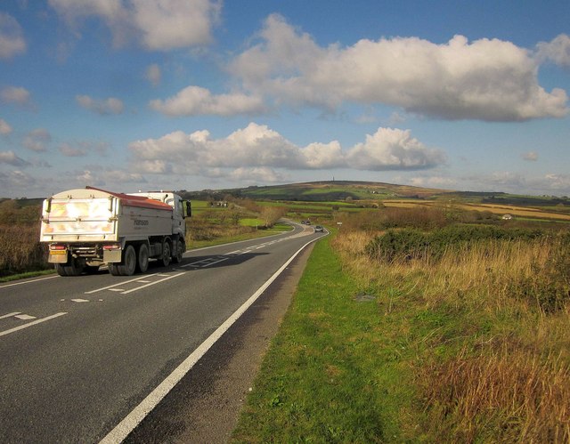
A388 on Viverdon Down
Further north than SX3767 : A388 on Viverdon Down, and approaching the junction with a lane to Amy Tree shown in SX3767 : A388 Amy Tree junction, Viverdon Down, Callington.
 Map © Crown Copyright")
TIP: Click the map for more Large scale mapping
- Grid Square
- SX3767, 13 images (more nearby 🔍)
- Photographer
- Derek Harper (more nearby)
- Date Taken
- Wednesday, 5 November, 2014 (more nearby)
- Submitted
- Thursday, 6 November, 2014
- Subject Location
-
OSGB36:
 SX 378 677 [100m precision]
WGS84: 50:29.1962N 4:17.2685W - Camera Location
-
OSGB36: SX 3785 6768
- View Direction
- North-northwest (about 337 degrees)