2012
NN9898 : Ben Macdui trig point
taken 12 years ago, near to Allt a' Choire Mhòir [water Feature], Aberdeenshire, Great Britain
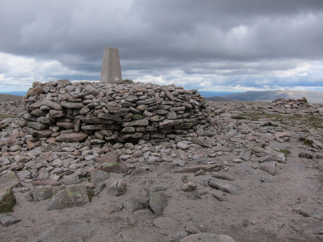
Ben Macdui trig point
There is an easy route up round the back.
 Map © Crown Copyright")
TIP: Click the map for more Large scale mapping
- Grid Square
- NN9898, 57 images (more nearby 🔍)
- Photographer
- Hugh Venables (more nearby)
- Date Taken
- Wednesday, 20 June, 2012 (more nearby)
- Submitted
- Sunday, 9 November, 2014
- Subject Location
-
OSGB36:
 NN 9889 9894 [10m precision]
WGS84: 57:4.2210N 3:40.1548W - Camera Location
-
OSGB36: NN 9888 9897
- View Direction
- South-southeast (about 157 degrees)