2014
TQ4260 : Footpath from Luxted
taken 9 years ago, near to Downe, Bromley, England
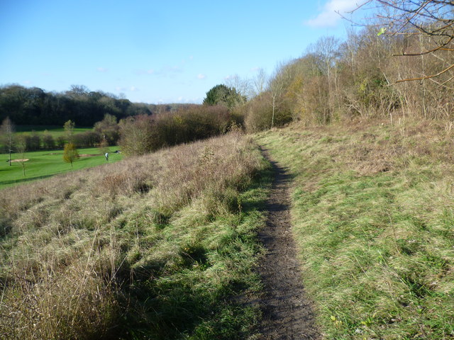
Footpath from Luxted
This footpath along the side of a chalk valley is doubtless full of wild flowers in the summer. It looks across the West Kent Golf Course to the woods next to Biggin Hill Airport on the other side of the valley. The constant sight and sound of aircraft could be heard beyond the trees. This was a beautiful warm and windless November afternoon.
 Map © Crown Copyright")
TIP: Click the map for more Large scale mapping
- Grid Square
- TQ4260, 40 images (more nearby 🔍)
- Photographer
- Marathon (more nearby)
- Date Taken
- Sunday, 9 November, 2014 (more nearby)
- Submitted
- Sunday, 9 November, 2014
- Subject Location
-
OSGB36:
 TQ 4291 6064 [10m precision]
WGS84: 51:19.6147N 0:2.9840E - Camera Location
-
OSGB36: TQ 4295 6059
- View Direction
- Northwest (about 315 degrees)