2014
SK6848 : Field west of Thurgarton (2)
taken 10 years ago, near to Thurgarton, Nottinghamshire, England
This is 1 of 2 images, with title starting with Field west of Thurgarton in this square
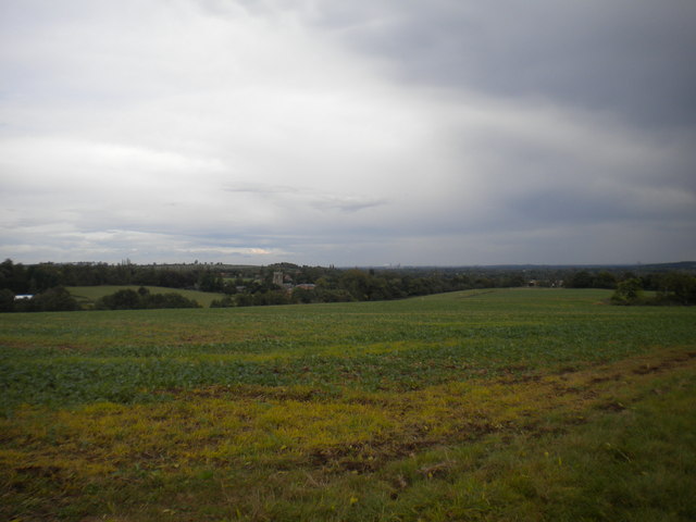
Field west of Thurgarton (2)
Looking towards the village, with Thurgarton Priory nestling in a small valley just to the left of the centre of the picture. The chimneys of Staythorpe power station are just visible on the horizon.
 Map © Crown Copyright")
TIP: Click the map for more Large scale mapping
- Grid Square
- SK6848, 19 images (more nearby 🔍)
- Photographer
- Richard Vince (more nearby)
- Date Taken
- Thursday, 9 October, 2014 (more nearby)
- Submitted
- Monday, 10 November, 2014
- Subject Location
-
OSGB36:
 SK 6861 4873 [10m precision]
WGS84: 53:1.8878N 0:58.7026W - Camera Location
-
OSGB36: SK 6856 4869
- View Direction
- Northeast (about 45 degrees)