2014
TM1779 : Kiln Lane, Upper Street
taken 9 years ago, near to Upper Street, Norfolk, England
This is 1 of 5 images, with title Kiln Lane, Upper Street in this square
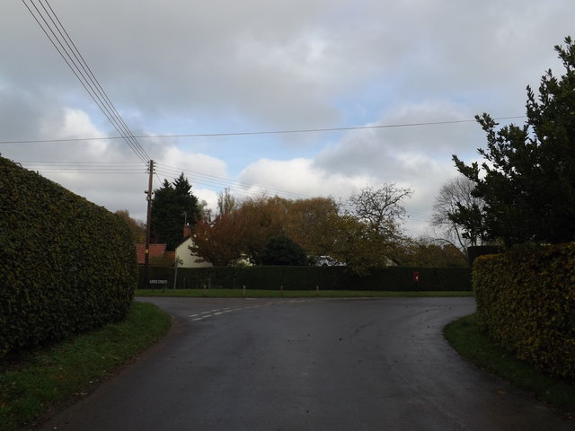
Kiln Lane, Upper Street
At the junction with Upper Street & Wood Lane
Road No.C353
Road No.C353
 Map © Crown Copyright")
TIP: Click the map for more Large scale mapping
- Grid Square
- TM1779, 105 images (more nearby 🔍)
- Photographer
- Geographer (more nearby)
- Date Taken
- Tuesday, 11 November, 2014 (more nearby)
- Submitted
- Wednesday, 12 November, 2014
- Subject Location
-
OSGB36:
 TM 17758 79955 [1m precision]
WGS84: 52:22.4598N 1:11.8578E - Camera Location
-
OSGB36: TM 17751 79943
- View Direction
- North-northeast (about 22 degrees)