2014
SK2465 : Stantonhall Lane
taken 10 years ago, near to Stanton in Peak, Derbyshire, England
This is 1 of 4 images, with title starting with Stantonhall in this square
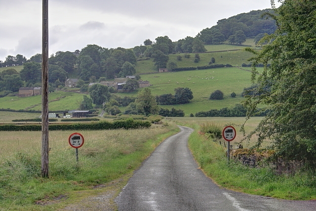
Stantonhall Lane
 Map © Crown Copyright")
TIP: Click the map for more Large scale mapping
- Grid Square
- SK2465, 39 images (more nearby 🔍)
- Photographer
- Mick Garratt (more nearby)
- Date Taken
- Sunday, 29 June, 2014 (more nearby)
- Submitted
- Monday, 17 November, 2014
- Subject Location
-
OSGB36:
 SK 2414 6570 [10m precision]
WGS84: 53:11.2709N 1:38.4114W - Camera Location
-
OSGB36: SK 2411 6572
- View Direction
- Southeast (about 135 degrees)