2014
SO6521 : Footpath across a rape crop?
taken 10 years ago, near to Lea, County of Herefordshire, England
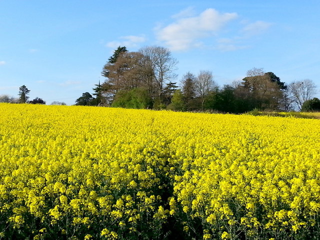
Footpath across a rape crop?
The short public path to Lea church. You may as well walk around the edge until after harvest!
 Map © Crown Copyright")
TIP: Click the map for more Large scale mapping
- Grid Square
- SO6521, 142 images (more nearby 🔍)
- Photographer
- Jonathan Billinger (more nearby)
- Date Taken
- Tuesday, 15 April, 2014 (more nearby)
- Submitted
- Thursday, 20 November, 2014
- Subject Location
-
OSGB36:
 SO 6576 2163 [10m precision]
WGS84: 51:53.5297N 2:29.9374W - Camera Location
-
OSGB36: SO 6577 2147
- View Direction
- NORTH (about 0 degrees)