2014
SD9202 : Coal Pit Lane
taken 9 years ago, near to Bardsley, Oldham, England
This is 1 of 2 images, with title starting with Coal Pit Lane in this square
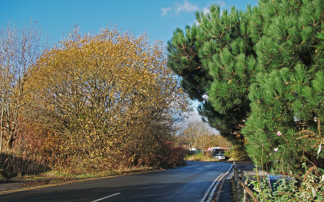
Coal Pit Lane
Looking from its junction with the A627. This narrow lane is a rat run for local traffic between Failsworth and the south of Oldham town centre.
 Map © Crown Copyright")
TIP: Click the map for more Large scale mapping
- Grid Square
- SD9202, 36 images (more nearby 🔍)
- Photographer
- michael ely (more nearby)
- Date Taken
- Tuesday, 18 November, 2014 (more nearby)
- Submitted
- Thursday, 20 November, 2014
- Subject Location
-
OSGB36:
 SD 9288 0219 [10m precision]
WGS84: 53:30.9802N 2:6.5307W - Camera Location
-
OSGB36: SD 9291 0217
- View Direction
- West-northwest (about 292 degrees)