2014
SD3629 : Peg's Lane
taken 9 years ago, near to Higher Ballam, Lancashire, England
This is 1 of 3 images, with title Peg's Lane in this square
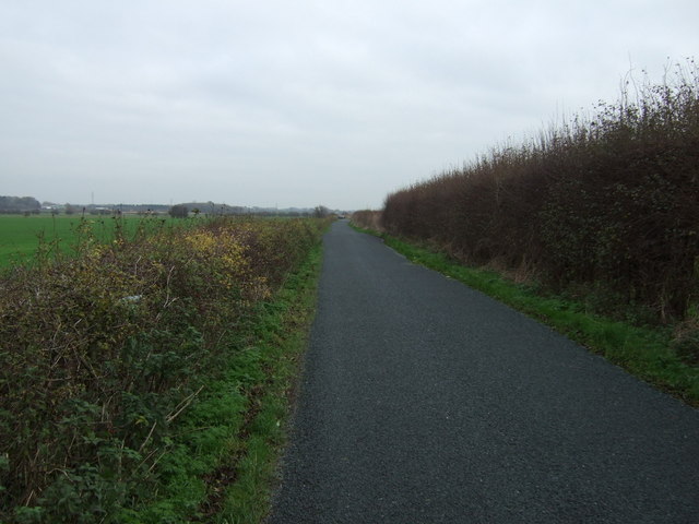
Peg's Lane
Heading east.
 Map © Crown Copyright")
TIP: Click the map for more Large scale mapping
- Grid Square
- SD3629, 18 images (more nearby 🔍)
- Photographer
- JThomas (more nearby)
- Date Taken
- Saturday, 15 November, 2014 (more nearby)
- Submitted
- Thursday, 20 November, 2014
- Subject Location
-
OSGB36:
 SD 3674 2957 [10m precision]
WGS84: 53:45.5177N 2:57.6596W - Camera Location
-
OSGB36: SD 36684 29574
- View Direction
- EAST (about 90 degrees)