2014
NU1143 : Dunes along Shell Road
taken 10 years ago, near to Holy Island, Northumberland, England
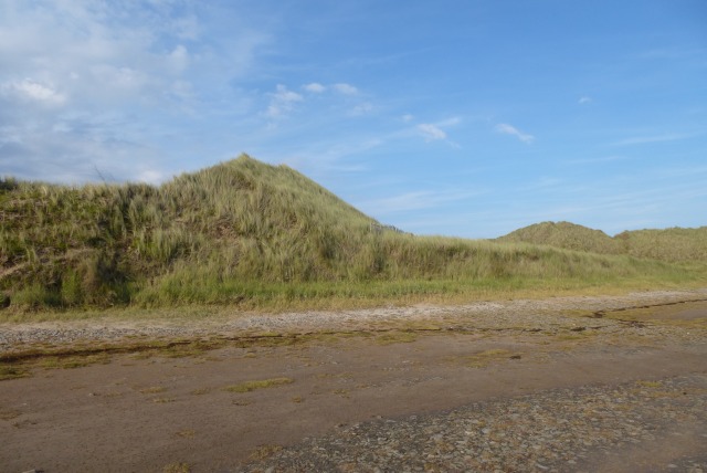
Dunes along Shell Road
Part of the extensive dunes on the northern end of Holy Island.
 Map © Crown Copyright")
TIP: Click the map for more Large scale mapping
- Grid Square
- NU1143, 116 images (more nearby 🔍)
- Photographer
- DS Pugh (more nearby)
- Date Taken
- Thursday, 4 September, 2014 (more nearby)
- Submitted
- Thursday, 20 November, 2014
- Subject Location
-
OSGB36:
 NU 1139 4332 [10m precision]
WGS84: 55:40.9939N 1:49.2253W - Camera Location
-
OSGB36: NU 11291 43251
- View Direction
- Northeast (about 45 degrees)