2014
SU8898 : Spurlands End Road junction with Copes Road
taken 10 years ago, near to Great Kingshill, Buckinghamshire, England
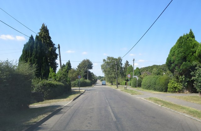
Spurlands End Road junction with Copes Road
 Map © Crown Copyright")
TIP: Click the map for more Large scale mapping
- Grid Square
- SU8898, 22 images (more nearby 🔍)
- Photographer
- Stuart Logan (more nearby)
- Date Taken
- Wednesday, 30 July, 2014 (more nearby)
- Submitted
- Thursday, 20 November, 2014
- Subject Location
-
OSGB36:
 SU 8863 9803 [10m precision]
WGS84: 51:40.4435N 0:43.1801W - Camera Location
-
OSGB36: SU 8865 9800
- View Direction
- North-northwest (about 337 degrees)