2014
SE0027 : The western end of Wadsworth FP78
taken 10 years ago, near to Hebden Bridge, Calderdale, England
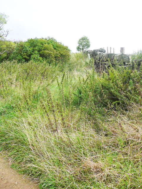
The western end of Wadsworth FP78
Mind the nettles! this short path is badly overgrown further up, and I retreated and went the long way round, which is not much further.
 Map © Crown Copyright")
TIP: Click the map for more Large scale mapping
- Grid Square
- SE0027, 191 images (more nearby 🔍)
- Photographer
- Humphrey Bolton (more nearby)
- Date Taken
- Monday, 18 August, 2014 (more nearby)
- Submitted
- Sunday, 23 November, 2014
- Subject Location
-
OSGB36:
 SE 0006 2744 [10m precision]
WGS84: 53:44.6003N 2:0.0342W - Camera Location
-
OSGB36: SE 0006 2744
- View Direction
- East-northeast (about 67 degrees)