2014
NO1088 : Approaching the dam at Corriemulzie
taken 9 years ago, near to Inverey, Aberdeenshire, Scotland
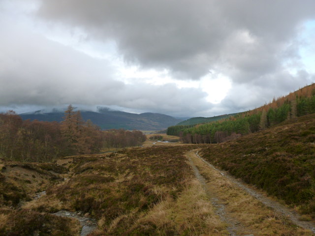
Approaching the dam at Corriemulzie
The dam in the middle distance appears to have been a hydro-electric schene which fell into disuse - planning permission has been granted (December 2013) to reinstate it.
 Map © Crown Copyright")
TIP: Click the map for more Large scale mapping
- Grid Square
- NO1088, 4 images (more nearby 🔍)
- Photographer
- Alan O'Dowd (more nearby)
- Date Taken
- Saturday, 22 November, 2014 (more nearby)
- Submitted
- Sunday, 23 November, 2014
- Subject Location
-
OSGB36:
 NO 109 887 [100m precision]
WGS84: 56:58.8964N 3:27.9895W - Camera Location
-
OSGB36: NO 109 887
- View Direction
- Northeast (about 45 degrees)